Follow Us x
Get State-of-the-Art Radio Communications
Call JPJ for a custom solution for your organization
Need Other Communication Solutions? We Hear You Loud and Clear
Browse our products page for full details of our offerings
Please note that our new website is still under construction. Thank you for your patience!

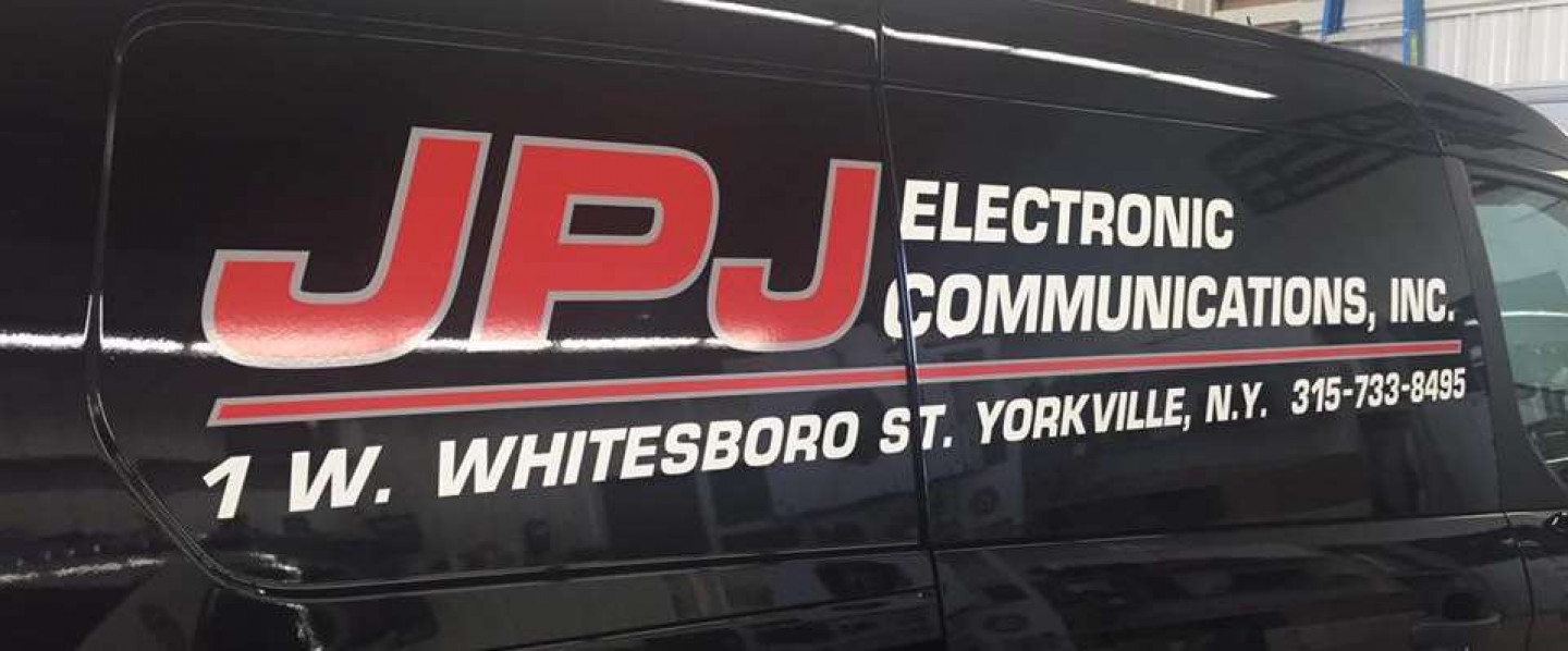
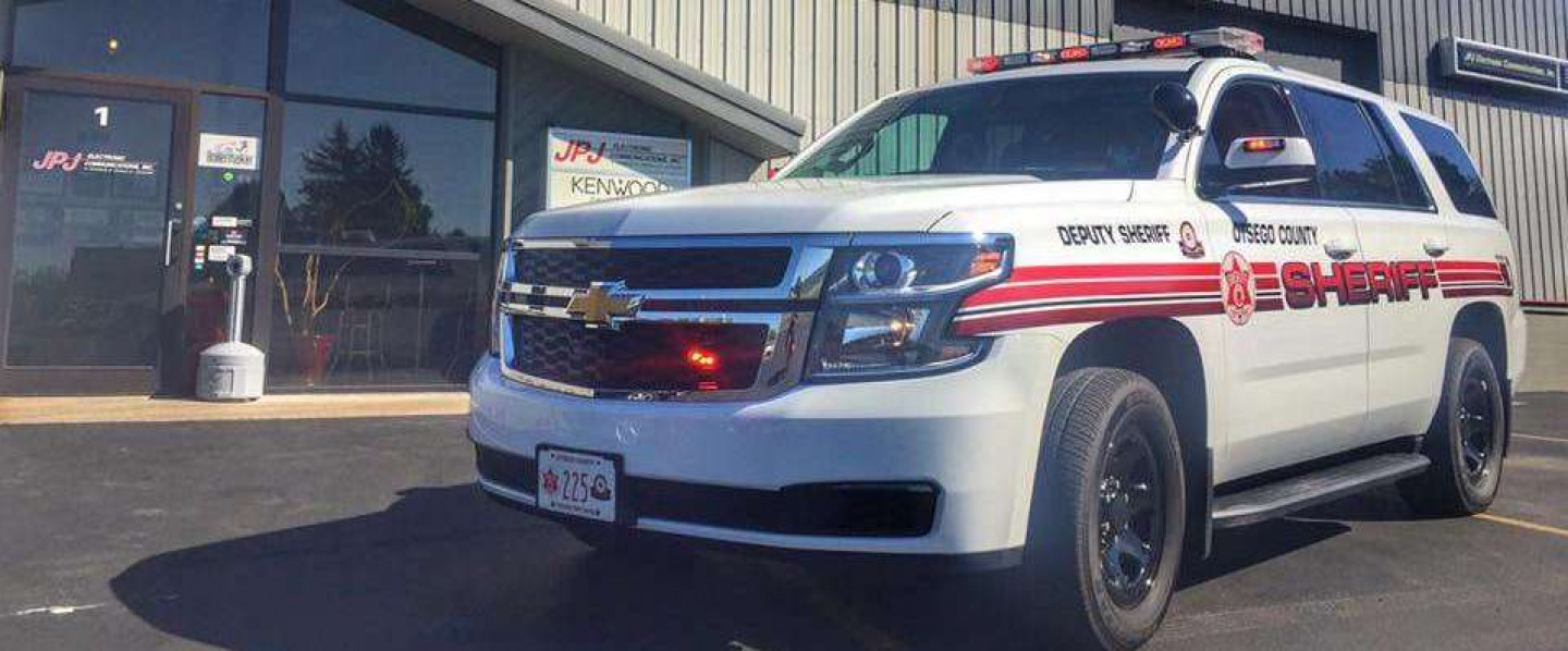
Radio equipment for Central New York first responders
JPJ Electronic Communications, Inc. offers a broad range of radio and communication technologies for first responders and public safety members. For years, we’ve provided police departments, fire departments, volunteers and business professionals with communication technologies that are innovative, unique and reliable.
From two-way radio systems to entire radio station rentals, JPJ Electronic Communications is prepared to help organizations across the state of New York with their needs. Call our office in Yorkville, New York today to see what type of products and services we have available to make your communication more convenient.
Providing reliable products with a passion
At JPJ Electronic Communications, Inc., we understand that every department and organization has different needs. That’s why we offer a number of different products, services and setups to meet the ever-evolving needs of our customers. Come to JPJ for sales or service of any of the following:
- Kenwood two-way radio equipment
- Harris assured communications products
- Federal Signal Corporation emergency lights and sirens
- Whelen public safety warning equipment
- Code 3 public safety equipment
Whether you’re the department captain or the maintenance manager, you deserve to have a working solution for your communication needs. You’ll get it here at JPJ Electronic Communications.
Customers frequent our business for their radio frequencies
Our past clients continue to rave about our professionalism, customer service and commitment to client satisfaction. If you're searching for a business that knows how to work as well as the products they offer, come to JPJ Electronic Communications. Walk-ins and appointments are available - call our trained and highly-experienced specialists today to see what we can do for you.
Contact Us Today!
-
Call Us
Phone: 315-733-8495
Email: info@jpje.com
Hours
Mon: 8am-4:30pm (Emergency Services 24/7)
Tue: 8am-4:30pm (Emergency Services 24/7)
Wed: 8am-4:30pm (Emergency Services 24/7)
Thu: 8am-4:30pm (Emergency Services 24/7)
Fri: 8am-4:30pm (Emergency Services 24/7)
Sat: (Emergency Services 24/7)
Sun: (Emergency Services 24/7)